

Why maps are never enough on a real expedition
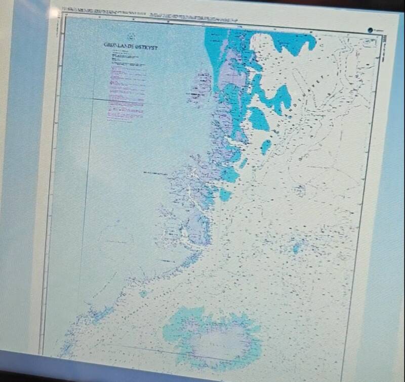
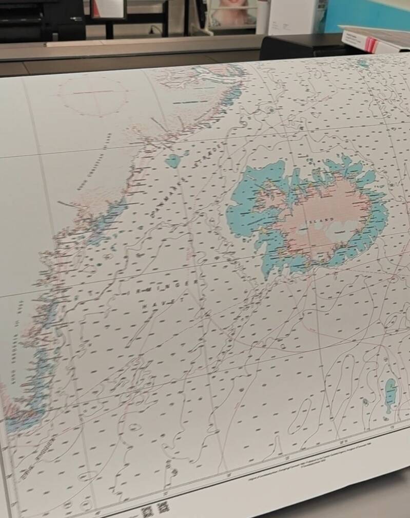
So how I get to these maps is actually a big part of the whole story. Because when you do expeditions, you learn pretty quickly that maps are not automatically reliable just because they exist. Especially in a place like Greenland, where a lot of the chart material is simply old and not really up to date.
And that becomes a real issue near the coast. The landscape there is constantly changing. Glaciers move, they retreat, they break off. That changes the coastline, but also what’s happening under the water. Sandbanks can form, hazards can appear or shift, and suddenly what you see on the map just isn’t what’s actually there anymore.
Our route starts in Norway, up on the Lofoten, over to Jan Mayen, and from there to Greenland and then down to Iceland and Faroe Islands. For Iceland, the charts are excellent. For Jan Mayen, they’re also quite good and relatively current. But once you get to Greenland, the quality drops significantly.
So I decided to go for the official paper charts from Denmark. That felt like the only solid base. But when I got them, it was honestly quite sobering. Not just the content, but even the physical quality was surprisingly poor. And you realize: if the base material isn’t great, digitizing it won’t magically fix it. You just end up with digital versions of weak charts. The base of the charts are over 100 years old and the last update coming from 1966.
Still, digitizing them is essential for the way we travel. So I had them scanned properly, very carefully, with attention to detail, so that everything is as accurate as possible. And then I take those files and work on them at home.
A TIFF file on its own is not enough. You have to georeference it, meaning you assign real-world coordinates to the map. You define points, top left, top right, bottom right and align it properly so a navigation system can actually understand where this map sits on the planet.
After that, I convert it into a format that OpenCPN can read. That’s an open-source navigation tool we use onboard. And the key thing is: it all works offline. So what I end up with is a map that might not be perfect in terms of data, but at least it’s integrated into our system and usable out there.
And that’s really the point. This is not about having perfect maps. It’s about building a setup that works in reality. Because once we’re in those areas, there are no Navionics, no Garmin charts, nothing reliable to fall back on. We’re on our own with what we prepared.
And from there, everything becomes about awareness. The maps are just one layer. The real navigation happens with eyes, with experience, with constant checking. That’s how we deal with uncertainty out there.
Andy Fitze, Skipper
Add comment
Comments